

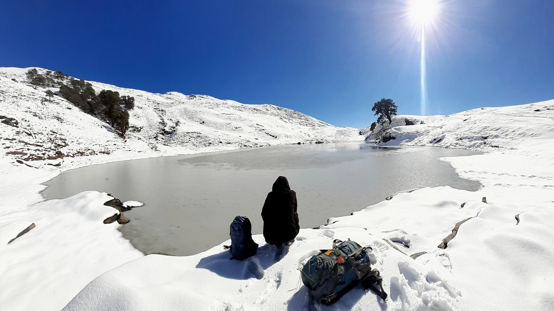
The Brahmatal Trek is a high-altitude Himalayan trail in Uttarakhand’s Chamoli district reaching 12,250 ft (3,734 m) at Brahmatal Top, with a round-trip trekking distance of roughly 22 to 24 km from Lohajung. Its staged altitude gain and views of Mt. Trishul and Mt. Nanda Ghunti make it one of India’s most accessible winter snow treks for first-time high-altitude hikers.
Planning for the 2027 season means looking past generic travel lists and focusing on trail pacing, weather windows, and mountain safety. At Trekmount, our field leaders guide trekkers through the Garhwal Himalayas from Rishikesh and Dehradun, pairing clear logistics with realistic mountain preparation.
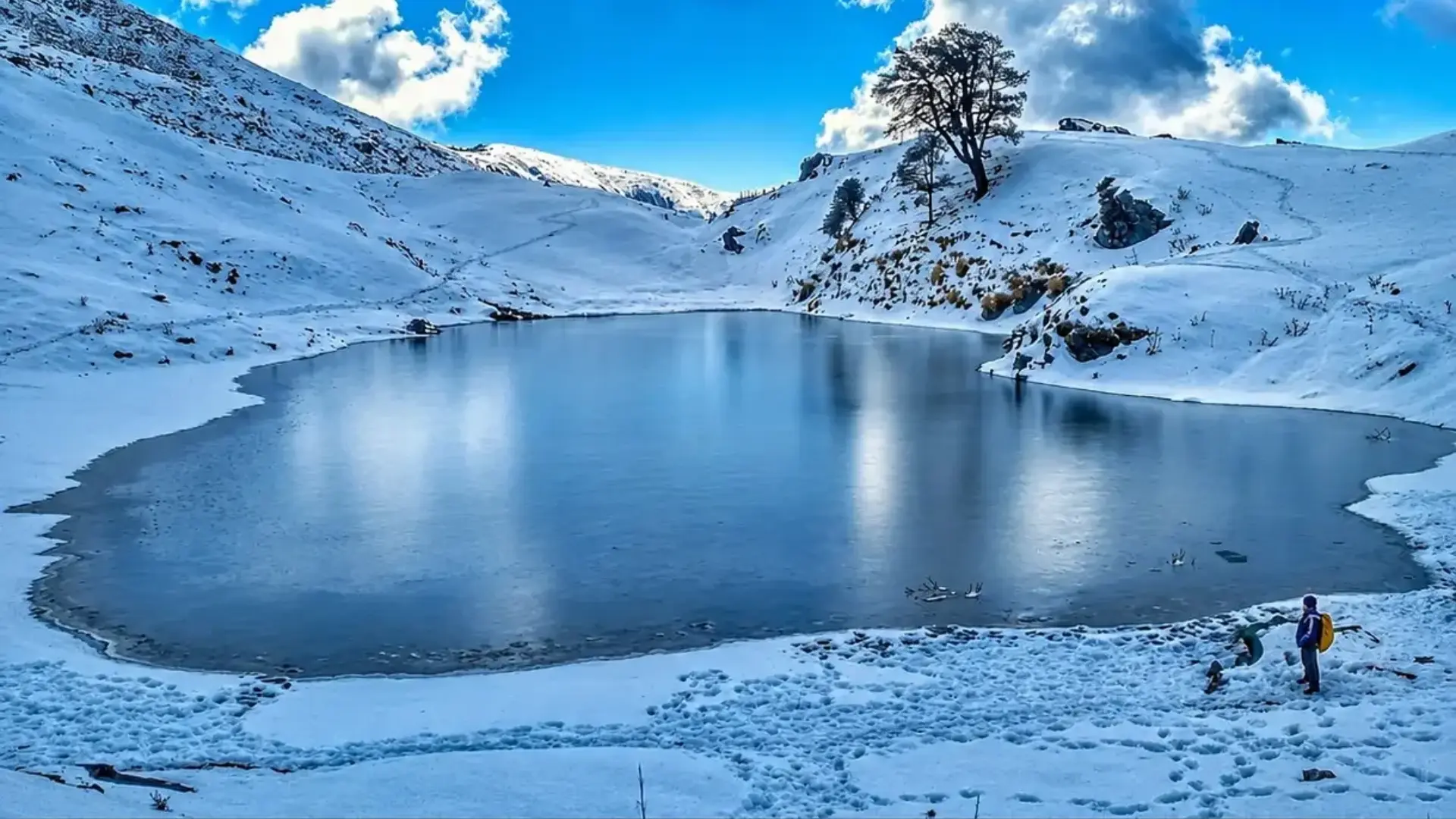
Core Trail Facts: Brahmatal Lake Trek at a Glance
| Trail Metric | Key Details |
| Brahmatal Trek Base Camp | Lohajung (~7,600–7,662 ft), Chamoli district, Uttarakhand |
| Brahmatal Trek Altitude / Height | ~12,250 ft (3,734 m) at Brahmatal Top; ~10,440 ft at Brahmatal camp |
| Lohajung to Brahmatal Trek Distance | ~22–24 km active trekking distance (varies by camp and descent route) |
| Typical Duration | 5 to 6 days including road travel from Rishikesh/Dehradun |
| Difficulty Grade | Easy to Moderate; no technical rock or ice climbing required |
| Peak Snow Window | December to March |
Best Time for the Brahmatal Trek: Seasonal Breakdown
The key point is that each season changes the trail surface, cold exposure, and visibility. Pick your departure month based on what conditions you want to handle:
-
Brahmatal Trek in Winter (December to February): The Brahmatal trek in winter delivers deep snow across forest trails and high ridges. A Brahmatal trek in December brings early winter snowfalls and crisp cold as temperatures drop below freezing at higher camps. January and February offer the heaviest snow cover and clear winter skies, though sub-zero nights require proper thermal layers and microspikes.
-
Spring & Early Summer (March to May): A Brahmatal trek in March gives trekkers lingering early-spring snow patches alongside milder daytime temperatures compared to mid-winter. By contrast, a Brahmatal trek in summer—such as a Brahmatal trek in May—replaces deep snow with green oak and rhododendron woods, dry paths, and warmer air, while high peaks still carry snow. Avoid the monsoon months (July to September) due to landslide risks on mountain roads.
-
Autumn (October): A Brahmatal trek in October follows the monsoon with clear mountain air, stable trail conditions, and crisp visibility toward the Trishul and Nanda Ghunti massifs.
6-Day Brahmatal Trek Itinerary & Route Map
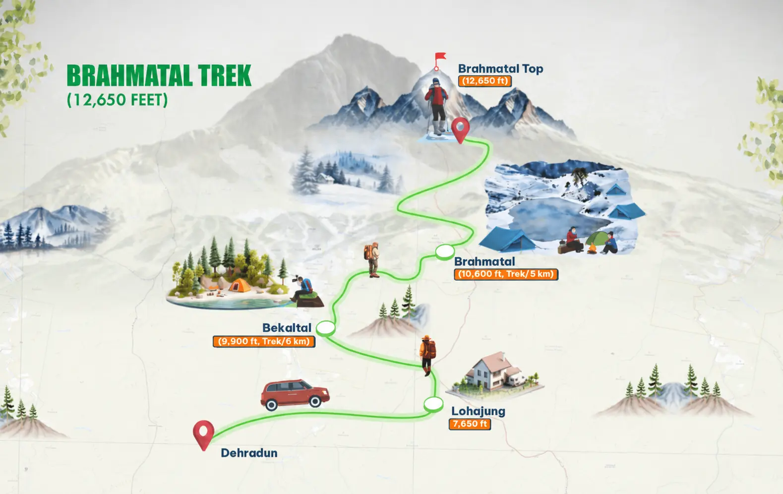
A smart 6-day schedule builds Adaptation step by step rather than pushing straight onto high ridges. Along the trail map from Lohajung, hikers ascend through forested slopes, cross ridge viewpoints such as Jhandi Top and Telindi Top, pass alpine water bodies, and loop back toward the base village.
-
Day 1 – Drive from Rishikesh or Dehradun to Lohajung: Cover roughly 250–280 km along Himalayan river valleys via Devprayag, Rudraprayag, and Karanprayag (around 9–10 hours). Stay overnight in Lohajung to settle into mountain air.
-
Day 2 – Lohajung to Bekaltal (~6 km): Climb steadily through oak, fir, and rhododendron woods past Mandoli and small streams to reach Bekaltal (near ~9,690–9,950 ft).
-
Day 3 – Bekaltal to Upper Camp (~7 km): Ascend toward the ridge near Jhandi Top and Telindi Top for wide views of Mt. Trishul and Mt. Nanda Ghunti, then drop slightly to the upper lake camp (~10,440 ft).
-
Day 4 – Summit Push via the Frozen Lake (~7–15 km depending on descent camp): Walk past the high alpine lake in the early morning and climb to Brahmatal Top (12,250 ft) for 360-degree Himalayan panoramas before descending toward lower forest camps or Lohajung.
-
Day 5 – Forest Descent to Lohajung (if camping lower on Day 4): Complete the downhill walk back to Lohajung for rest and hot meals.
-
Day 6 – Drive from Lohajung to Rishikesh / Dehradun: Return along the mountain highway corridor to wrap up the expedition.
Mountain Safety: How Trekmount Plans Your 2027 Expedition
High-altitude snow routes reward steady pacing over speed. Reaching 12,250 ft is realistic for beginners who can walk briskly for two hours before their trip, stay well hydrated, and layer clothing properly. Because mountain weather can shift quickly and mobile signal or ATMs are scarce past major towns, carrying enough cash and following your trek leader’s pace is essential.
When comparing expedition options for 2027, prioritize clear operational standards over rock-bottom pricing:
-
Qualified Field Leadership: Experienced leaders trained in wilderness first aid, daily oxygen/pulse checks, and high-altitude safety protocols.
-
Matched Seasonal Gear: Four-season tents, cold-rated sleeping bags, hot meals, and winter traction equipment such as microspikes and gaiters when snow is on the trail.
-
Controlled Group Size: Manageable batches that protect fragile alpine meadows, keep trail movement safe, and support clear communication.
Frequently Asked Questions
What is the Brahmatal trek best time for snow?
December through February is the prime window for heavy snow and frozen alpine lakes, while March still offers snow patches with milder temperatures.
How long is the Lohajung to Brahmatal trek distance?
Active trekking is generally around 22–24 km across the main route, split over multi-day ascents and descents.
Is the Brahmatal Lake trek good for beginners?
Yes, for beginners with basic cardiovascular fitness and proper winter clothing, thanks to gradual daily elevation gains and non-technical trails.
How do I complete a Brahmatal trek booking for 2027?
Select your preferred seasonal batch on the Trekmount 2027 winter batch schedule, confirm travel from Rishikesh or Dehradun, and complete fitness and gear checks before paying the booking deposit.